Moncton sits on a dynamic floodplain where the Petitcodiac River has deposited up to 30 meters of soft, compressible silts and clays—a formation that stiffens drastically toward the Memramcook bedrock highlands. Any excavation deeper than 4 meters in the downtown core hits groundwater linked to the Bay of Fundy’s tidal fluctuations, which can shift pore pressures by over a meter in a single day. Our team combines CPT testing to map these sensitive clay lenses with advanced numerical modeling to design soldier pile and lagging systems that stay dry and stable. We work directly with the geotechnical data produced by local drillers who understand the Shepody and Albert formations, ensuring the temporary works design aligns with the 2020 National Building Code of Canada and CSA A23.3 for structural concrete in shoring walls.
In Moncton’s tidal silt, an unbraced 6-meter cut can fail within a single tide cycle if the designer ignores the instantaneous pore pressure response.
Technical details of the service in Moncton
Demonstration video
Critical ground factors in Moncton
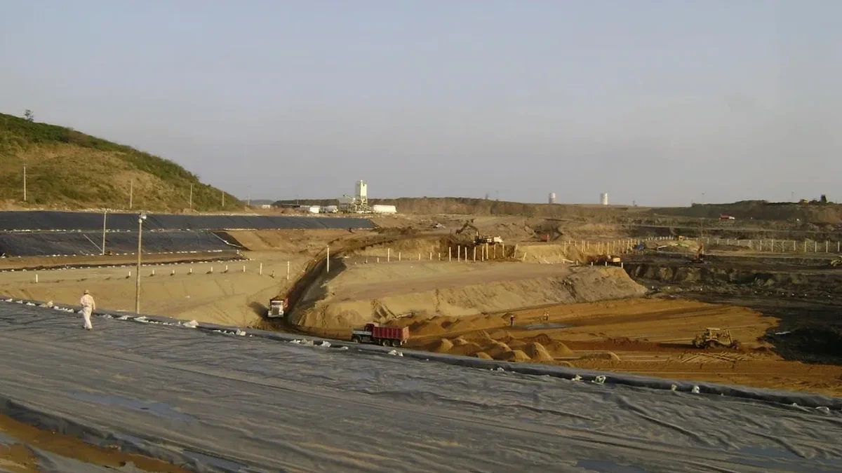
The contrast between the Mountain Road commercial corridor and the riverfront lands east of Wheeler Boulevard illustrates Moncton’s geotechnical duality. Mountain Road sites often encounter dense glacial till at 6 to 8 meters—a competent bearing layer that simplifies basal heave checks. By contrast, the riverfront properties rest on 20-plus meters of Champlain Sea silts with undrained shear strengths below 25 kPa. Contractors who treat these two zones the same discover blowouts at the base of the cut. A deep excavation here without a rigorous excavation monitoring program risks sudden sand boils and catastrophic loss of ground in adjacent roadways. The City of Moncton’s right-of-way permit now demands a pre-construction condition survey and a monitoring plan signed by a geotechnical engineer—a direct response to a 2018 shoring failure on Assomption Boulevard that closed the street for six weeks.
Our services
Our geotechnical design package for deep excavations in Moncton covers every phase from initial borehole planning to construction support. We deliver stamped calculations and drawings backed by the local stratigraphic knowledge that only comes from working across the Tantramar Marsh and Greater Moncton area.
Shoring Wall and Bracing Design
We design soldier pile, sheet pile, and secant pile walls with internal struts or tiebacks. Each system is sized for the short-term drained and long-term undrained conditions typical of the Moncton subsoil, with detailed deflection predictions using finite element analysis.
Dewatering and Groundwater Control Plans
We develop pumped-well and ejector systems that handle the tidal lag observed in the Petitcodiac aquifer. Our hydraulic models predict flow rates and radius of influence, and we specify filter packs compatible with the local silty fine sand seams.
Construction-Phase Monitoring and Review
We provide inclinometer readings, piezometer tracking, and weekly site review reports. Our monitoring thresholds are calibrated to the City of Moncton’s settlement criteria, and we issue stop-work directives if movement exceeds 75% of the design limit.
Common questions
What is the typical cost range for designing a deep excavation in Moncton?
The geotechnical design fee for a deep excavation in Moncton generally falls between CA$2,900 and CA$12,600 depending on the cut depth, site constraints, and whether groundwater modeling is required. A straightforward 4.5-meter basement on a suburban till site sits at the lower end, while a 12-meter cut with tiebacks on the riverfront involves complex staged analysis and costs more.
How does the Petitcodiac River tide affect the excavation design?
The tidal bore pushes water into the permeable silt seams faster than it drains, creating a lagged pore-pressure response. We model this with transient seepage analysis that captures the daily fluctuation envelope. Without this step, the effective stress assumed in the wall design can be unconservative by 15 to 20 percent.
Do I need a geotechnical engineer to sign off on shoring in Moncton?
Yes. The City of Moncton building permit review requires a sealed shoring design from a professional engineer licensed in New Brunswick. The submission must include soil parameters, structural calculations, and a monitoring plan that identifies trigger levels for lateral movement and groundwater drawdown.