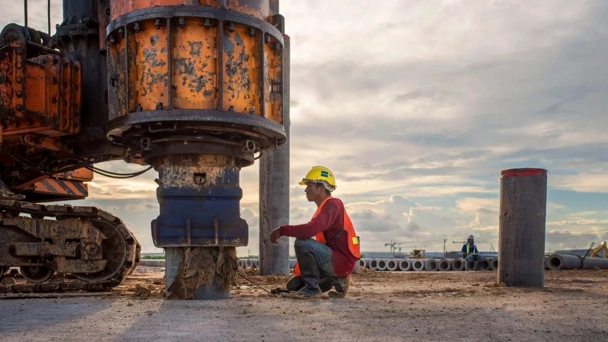
The subsurface conditions beneath Moncton shift dramatically from one side of the Petitcodiac River to the other. In the downtown core near Main Street, you often encounter dense glacial till at relatively shallow depths, which tends to produce higher shear wave velocities. Cross over to the Dieppe or Riverview areas, and the profile changes to deeper alluvial silts and clays where the CPT test can provide complementary continuous stratigraphy. These contrasts are not just academic—they directly affect the seismic site classification under the National Building Code of Canada. A MASW / VS30 survey lets us quantify that difference in shear wave velocity between sites that may be less than a kilometer apart. In our experience working across Greater Moncton, the non-invasive nature of the method is particularly valuable on confined urban lots where access for drilling rigs is limited, and the data integrates well with seismic refraction when bedrock depth needs to be mapped alongside stiffness.
Vs30 is not a property of the top 30 meters alone—it's a weighted harmonic average, which means a thin soft layer near the surface penalizes the classification far more than a stiff layer at depth.
Technical details of the service in Moncton
Critical ground factors in Moncton
Moncton sits at an elevation of roughly 20 meters above sea level and lies within a region of moderate seismicity, with the 1989 Miramichi earthquake (M 5.6) serving as a reminder that the passive margin can produce damaging ground motion. The primary risk we see in the local consulting practice is underestimating the impedance contrast between the surface organic silts and the underlying dense till or sandstone bedrock. A site that appears competent during a visual walkover may have a Vs30 below 180 m/s, pushing it into Class D or even Class E, which carries a 1.5x to 2x multiplier on spectral acceleration values in the NBCC. That difference changes the lateral load demand on the entire structural system. Running a MASW survey during the schematic design phase avoids the costly redesign loop that occurs when a conservative default class is later proven wrong. On the Moncton industrial park developments north of the Trans-Canada Highway, we have also used Vs profiling to identify buried paleochannels filled with loose saturated sands that pose a liquefaction concern under the design earthquake.
Our services
Our technical scope for shear wave velocity measurement in Moncton covers the full chain from field acquisition to site class reporting. Each survey is configured to the specific lot geometry and subsurface conditions of the Petitcodiac River valley.
Standard MASW Profiling (Vs30)
A single linear array deployed on grade to produce a 1D shear wave velocity profile. Delivered as a signed report with dispersion curve, inverted velocity model, and NBCC site class letter.
2D MASW Cross-Sections
Multiple overlapping arrays rolled along a transect, generating a continuous 2D shear wave velocity section. Useful for mapping lateral variability across larger footprints or along proposed road alignments.
Combined MASW + Seismic Refraction
Simultaneous P-wave and surface-wave acquisition on the same spread. Yields both compressional and shear wave velocity profiles, plus a bedrock depth contour when the two are interpreted jointly.
Common questions
How long does a typical MASW survey take on a Moncton site?
A single standard array acquisition usually takes 60 to 90 minutes on site, assuming clear access and no buried utilities interfering with the line. Processing and report delivery typically add two to three business days. Larger 2D transects or sites with high ambient noise from nearby traffic on Wheeler Boulevard may require additional time for stacking and filtering.
How much does a MASW / VS30 survey cost in the Moncton area?
For a standard single-array MASW profile producing a Vs30 value and NBCC site class, the cost typically ranges from CA$2,190 to CA$4,820 depending on the number of arrays, site accessibility, and whether supplementary testing such as seismic refraction is bundled. A formal proposal is provided after reviewing the site plan and project requirements.
Can MASW be done on a paved parking lot or does it require bare soil?
MASW works well on asphalt and concrete surfaces with good geophone coupling—we use base plates or a thin layer of sand under each sensor to ensure contact. The presence of pavement does not degrade the data as long as the surface is intact. In fact, the rigid pavement often improves the high-frequency signal quality compared to soft grass or loose gravel.